Japan / Hokkaido Region /
JP010Shiretoko, Mount Syari-dake
Site Description
Coastline;Forest
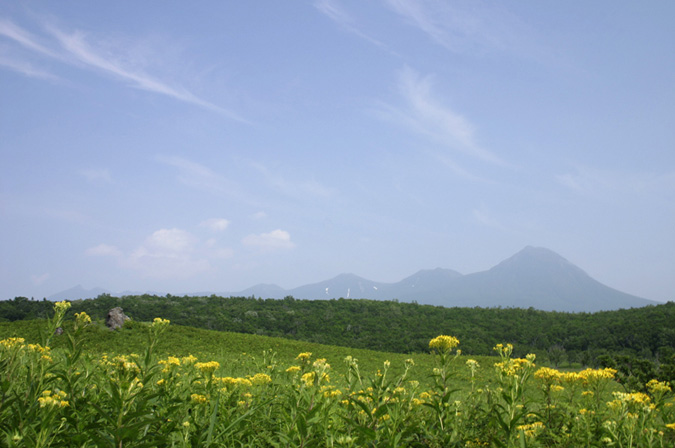
Shiretoko Peninsula is narrow with a length of 70 km and a width of 25 km at the bottom. In the center of the slender peninsula is the highest mountain, Mt. Rausudake (1,661m) and other mountains extend longitudinally. Large mammals such as Ursus arotos yesoensls are in high density. Mt.Sharidake (1,547m) is in the Chishima volcanic zone, and on the upper part higher than 1,000 m, Pinus pumila and many alpine flowers can be seen. Arctic Warblers breed among Pinus pumila on Mt. Rausudake, Onnebetsudake and Mt. Sharidake are the only known breeding areas in Hokkaido.
Area & Coordinates
123,000ha 43°59′N 145°01′E
region: Hokkaido
Category
A1, A3, A4i
Designation Type
National Park, Wildlife Protection Area (government), Wilderness Area, Prefectural National Park, World Heritage
Protection Status
Protected
Conservation issues
- Recreation/tourism
- Construction/impact of dyke/dam/barrage
- Consequences of animal/plants/ introductions
Birds
Breeding resident
Haliaeetus albicilla, Ketupa blakistoni, Picus canus, Tetrastes bonasia
Breeding visitor
Phalacrocorax capillatus, Larus schistisagus, Cepphus carbo, Phylloscopus borealis
Winter visitor
Haliaeetus pelagicus, Buteo lagopus, Bucephala clangula, Plectrophenax nivalis
Passage visitor
Phalaropus lobatus, Stercorarius pomarinus, Synthliboramphus antiquus, Cerorhinca monocerata
Image
©FUJIKAWA Tomotaka
![]()
