Japan / Tohoku Region /
JP047Mounts Hachimantai, Wagadake
Site Description
Forest
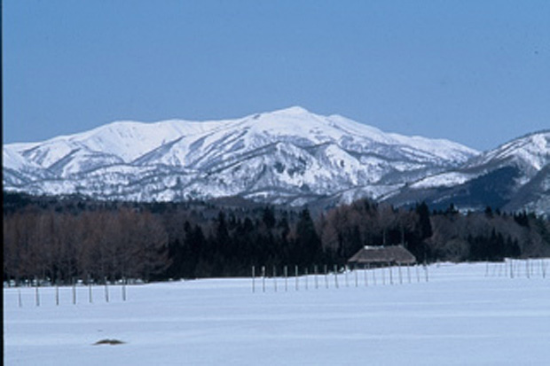
Volcanic rocks and pyroclatic rocks (including sandstones) created the site in the Neogene (Neocene), together with granites in the Cretaceous Period elevated accompanying the reverse fault between east and west sides, and created this site with a severe denudation. The site is located in the middle of the Ohu Mountains that devides Iwate and Akita Prefectures. The series of mountains that start from Sengan Pass on Route 46 are called Mahiru Sanchi that includes Mt.Mokkodake, Mt.Wagadake, Mt.Takashitadake, Mt.Mahirudake and Mt.Megamiyama.
The foot of the mountains has sharp and deep valleys despite their low altitude while the major ridge line of the mountains are gentle slopes, and patches of snow and grasslands can be seen everywhere. The headwaters area of the Wagagawa river is in the deep mountain and the primary forests of Fagus crenata.
Area & Coordinates
98,000ha 38°52′N 140°50′E
region: Tohoku
Category
A3
Designation Type
National Park, Nature Consevation Area
Protection Status
Protected
Conservation issues
- Unsustainable exploitation
Birds
Gallinago hardwickii, Emberiza sulphurata, Emberiza spodocephala, Cuculus canorus, Cuculus fugax, Cuculus saturatus, Caprimulgus indicus, Acrocephalus arundinaceus, Halcyon coromanda, Terpsiphone atrocaudata, Turdus chrysolaus, Sturnus philippensis, Buteo buteo, Spizaetus nipalensis, Aquila chrysaetos, Accipiter gentilis, Phasianus colchicus, Cuculus poliocephalus, Syrmaticus soemmerringii, Erithacus akahige, Emberiza variabilis, Turdus sibiricus sibiricus, Cyanoptila cyanomelana, Phylloscopus borealoides, Ficedula narcissina, Phylloscopus coronatus
Image
©SEGAWA Tsuyoshi
![]()
