Japan / Kanto Region /
JP073Banzu and Futtsu tidal flat
Site Description
Wetlands
Banzu tidal flat:It consists of an estuary delta(43 ha) which lies on the northwestern side of the tide embankment on the right bank of the Obitsugawa river, and the Maehama tidal flat (1,400 ha) which lies ahead. The delta is salty marsh which vegetates mainly Phragmites australis, and through which a waterway influenced by both salty and fresh water runs. A part of the delta has Pleioblastus chino Makino community, Celtis sinensis japonica grove, a planted Pinus thunbergii grove and an artificial pond. Maehama is one of the largest natural sandy tidal flat in Japan, where the tide ebbs as far as 1.5 to 2 km offshore during spring tide. It has the tidal range of 2m and the gradient of approximately 1/1000.
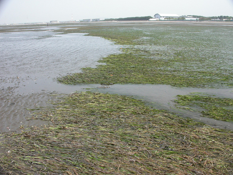
Futtsu tidal flat:It is a sandy tidal flat located on the northeastern side of the Futtsumisaki cape. It has an algal field of Zostera marina L., and its eastern area is used for shellfish gathering. There is a promenade in the Pinus thunbergii forest. Its beach is well used for leisure activities.
Area & Coordinates
2,400ha 35°24′N 139°54′E
region: Kanto
Category
A4i
Designation Type
Wildlife Protection Area (Local)
Protection Status
Unprotected
Conservation issues
- Recreation/tourism
- Consequences of animal/plants/ introductions
- Natural events
- Other
Birds
Breeding resident
Phalacrocorax carbo, Aldea cinerea, Anas poecilorhyncha
Breeding visitor
Acrocephalus arundinaceus
Winter visitor
Circus spilonotus, Aythya marila, Calidris alpina
Passage visitor
Charadrius mongolus, Pluvialis fulva, Calidris ruficollis, Heteroscelus brevipes, Tringa nebularia, Numenius madagascariensis, Numenius phaeopus, Xenus cinereus, Limosa lapponica, Philomachus pugnax, Tringa totanus, Sterna hirundo, Sterna albifrons
Image
©TAMURA Mitsuru
![]()
