JP114Kumozugawa, Atagogawa, Kongogawa estuaries
Site Description
Wetlands
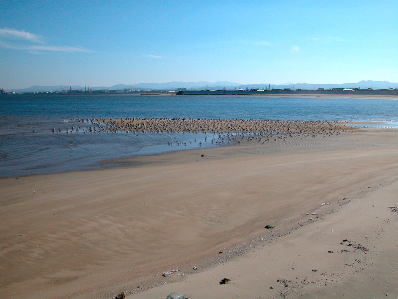
In between the large Kumozugawa river and the Kushidagawa river, the Kongogawa, Atagogawa, Miwatarigawa、Sakanaigawa rivers and other small rivers flow into the sea where seaweed beds and vast tidal wetlands are formed in the shallow sea area. Such areas are good sites for shellfishery and seaweed farming, so there is human activity in this area. Paddy fields and irrigation ditches are in the neighboring areas. A lot of ponds and eel aquaculture ponds remain here. Small reed beds can be seen around ponds and mouths of the rivers. Each tidal wetland slightly differs depending on its component, muddy or sandy. Consequently, habitat separation is seen in fish, shellfish and crustacean and, as a result, the area provides variety of foods to wild birds. The Hibiscus hamabo, a rare plant species (the site is its northern limit), and sparse woods of Celtis sinensis japonica occur on the coast while shore plants grow on the sand beach.
Area & Coordinates
1,200ha 34°37′N 136°33′E
region: Tokai Chubu Region
Category
A4i
Designation Type
Wildlife Protection Area (Local)
Protection Status
Unprotected
Conservation issues
- Abandonment/reduction of land management
- Recreation/tourism
- Industrialization/urbanization
- Construction/impact of dyke/dam/barrage
- Dredging/canalization Fill-in of wetland
Birds
Kumozugawa estuary
Anas acuta, Anas penelope, Aythya fuligula, Branta bernicla, Tadorna tadorna, Anas formosa, Larus argentatus, Larus saundersi, Haematopus ostralegus, Numenius madagascariensis, Limosa lapponica, Limosa limosa, Numenius phaeopus, Calidris tenuirostris, Heteroscelus brevipes, Xenus cinereus, Calidris alpina, Calidris acuminata, Larus crassirostris, Calidris canutus
Atagogawa, Kongogawa estuaries
Larus saundersi, Heteroscelus brevipes, Numenius phaeopus, Platalea minor, Limnodromus semipalmatus, Tachybaptus ruficollis, Emberiza schoeniclus, Remiz consobrinus, Acrocephalus arundinaceus, Circus spilonotus
Image
©KOSAKA Rika
![]()
