Japan / Kyushu Region /
JP157Tokara islands
Site Description
Forest
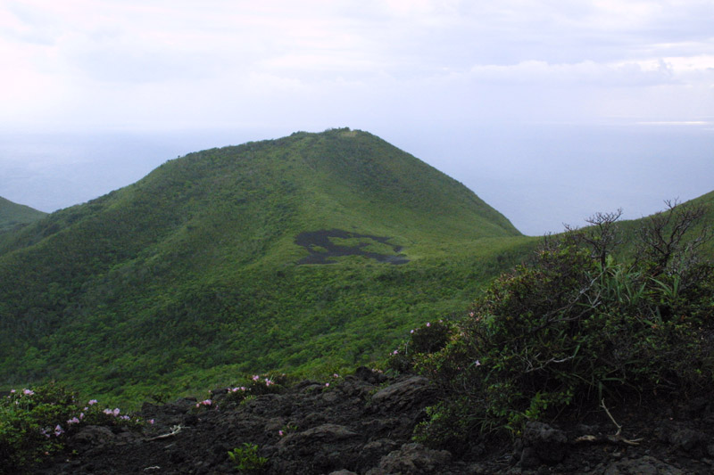
Tokararetto islands are volcanic islands lying between Yakushima and Amami islands. Kuchinoshima is the northernmost island, followed by more than 10 islands, Nakanoshima, Gajashima, Kogajashima, Tairajima, Suwanosejima, Akusekijima, Kodakarajima, Takarajima, Kaminonejima,and Yokoatejima. Nakanoshima has an area of 27.5 km2 with its peak at 979 m above sea level. Kodakarajima is a limestone tableland and terrace, while Takarajima’s central part is surrounded by limestone rocks. Other islands are volcanic terrains that have steep slopes along the shore. Gajashima, Kogajashima, Yokoatejima and Kaminonejima are uninhabited islands. Mountain areas are covered with forests of Castanopsis cuspdata, Machilus tunbergii and clusters of shrubs. In the lower areas are seen clusters of subtropical plants such as Ficus superba. var. japonica and Ficus microcarpa.
Area & Coordinates
8,400ha 29°51′N 129°52′E
region: Kyushu Region, Kagoshima
Category
A1, A2
Designation Type
Prefectural National Park, Wildlife Protection Area (Local)
Protection Status
Partially protected
Conservation issues
- Natural events
- Consequences of animal/plants/ introductions
Birds
Breeding resident
Bicedula narcissina owstoni, Sula leucogaster, Calonectris leucomelas, Egretta sacra, Pandion haliaetus, Columba janthina, Treron formosae, Pericrocotus divaricatus tegimae, Monticola solitarius, Parus varius
Breeding visitor
Erithacus komadori, Turdus celaenops, Phylloscopus ijimae, Cuculus poliocephalus, Halcyon coromanda
Winter visitor
Aix galericulata, Buteo buteo, Scolopax rusticola, Anthus spinoletta
Passage visitor
Egretta eulophotes
Image
©MIZOGUCHI Fumio
![]()
