Japan / Kinki Region /
JP117Lake Biwako
Site Description
Wetlands
Lake Biwako is 670 km2 and the largest lake in Japan. In addition to Northern Lake (613 km2、average depth of 43 m) and Southern Lake (57 km2、average depth of 4 m), which are divided by Biwakoohashi Bridge, there are many shallow marsh grounds called ‘Naiko’(inner lake) scattered around Lake Biwako, and they form habitats for wildlife connecting each other. The environmental elements are divided into two parts, a deep and vast offshore area and a shallow water zone along the coastline. The zone is rich in environment with aquatic plants such as Phragmites australis communities, sand beaches, rocky coasts and artificial banks. Surrounding areas are also agricultural fields, forests and urban areas. About 460 large and small rivers flow into Biwako, and sandbanks are well developed at the mouths of large rivers such as the Azumigawa river, the Anegawa river, the Aichigawa river and the Yasugawa river. There are five islets in the lake, Okishima, Chikubujima, Takeishima, Okinoshiroishi and the artificial Kihan-to.
Area & Coordinates
72,224ha 35°15′N 136°05′E
region: Kinki Region, Shiga
Category
A4i, A4iii
Designation Type
Quasi-National Park, Wildlife Protection Area (Local), Ramsar Site
Protection Status
Protected
Conservation issues
- Recreation/tourism
- Industrialization/urbanization
- Abandonment /reduction of land management
- Construction/impact of dyke/dam/barrage
- Natural events
- Fill-in of wetland
- Consequences of animal/plants/ introductions
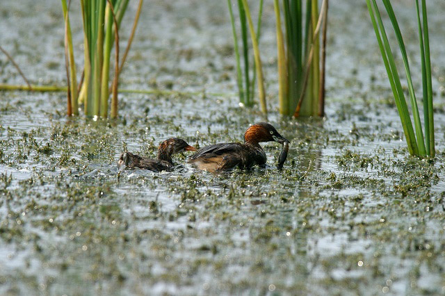
Birds
Breeding resident
Tachybaptus ruficollis, Podiceps cristatus, Phalacrocorax carbo, Ardeola alba, Egretta garzetta, Fulica atra
Breeding visitor
Ixobrychus sinensis, Butorides striatus, Bubulcus ibis, Egretta intermedia, Porzana fusca, Hirundo daurica, Acrocephalus arundinaceus
Winter visitor
Podiceps nigricollis, Anser albifrons, Anser fabalis middendorffii, Anas strepera, Cygnus columbianus, Falco tinnunculus, Rallus aquaticus
Image
©WATANABE Yasuo
![]()
