Japan / Kyushu Region /
JP144Shirakawa estuary
Site Description
Wetlands
Shirakawa is a river running through Kumamoto Prefecture. It originates in Aso caldera and finally reaches the western part of Kumamoto City, where it flows into the Ariake Sea. At its estuary we can see a tidal flat that extends more than 2 km outward. The tidal flat has an area of about 600 ha. It is also called "Shirakawa - Midorikawa tidal flat area,” since it forms a vast tidal flat which extends from the Tsuboigawa estuary (north of the Shirakawa river) to the Midorikawa estuary (south of the Shirakawa river) at low tide. The bottom sediment in the Shirakawa estuary was originally sand and mud, but currently ooze can be seen in many parts. Besides, a part of its bottom is covered with sand for the purpose of shellfish farming. The bank of the coast is an artificial one reinforced with concrete blocks. The inner side of the coast is mainly utilized as lotus fields, etc. In the southwest of the Shirakawa estuary there are Kumamoto harbor facilities (137 ha) built on the reclaimed tidal flat, a part of which was reclaimed with dredge soil produced by seaway dredging works.
Area & Coordinates
1,200ha 32°47′N 130°36′E
region: Kyushu Region, Kumamoto
Category
A1, A4i
Designation Type
Wildlife Protection Area (Local)
Protection Status
Unprotected
Conservation issues
- Aquaculture/fisheries
- Recreation/tourism
- Drainage
- Fill-in of wetland
Birds
Breeding resident
Egretta alba, Rostratula benghalensis, Charadrius dubius, Actitis hypoleucos
Breeding visitor
Sterna albifrons
Winter visitor
Aythya fuligula, Mergus serrator, Larus saundersi, Remiz consobrinus, Emberiza schoeniclus, Podiceps cristatus, Platalea leucorodia, Platalea minor, Tadorna tadorna, Anas acuta, Platalea minor
Passage visitor
Charadrius mongolus, Pluvialis fulva, Pluvialis squatarola, Arenaria interpres
Image
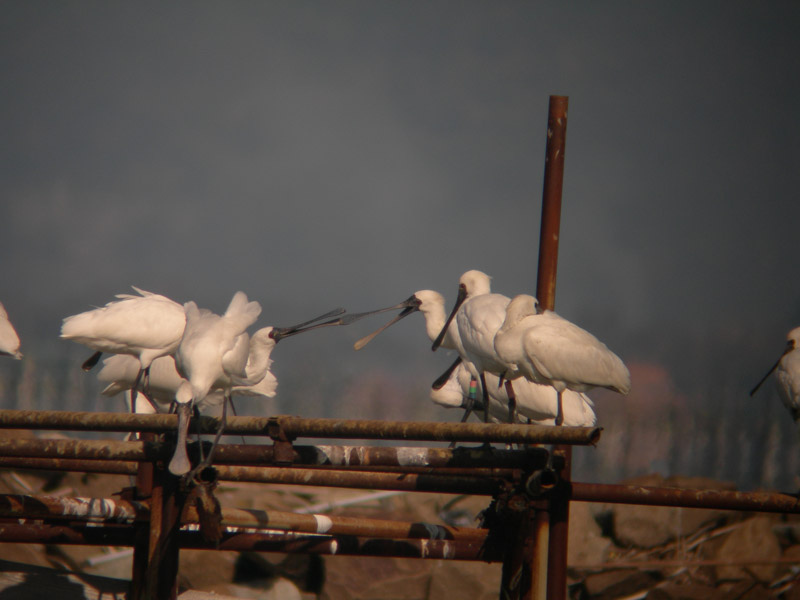
©SHIRAISHI Kenichi
![]()
