Japan / Kyushu Region /
JP145Hikawa estuary, Shiranui
Site Description
Wetlands
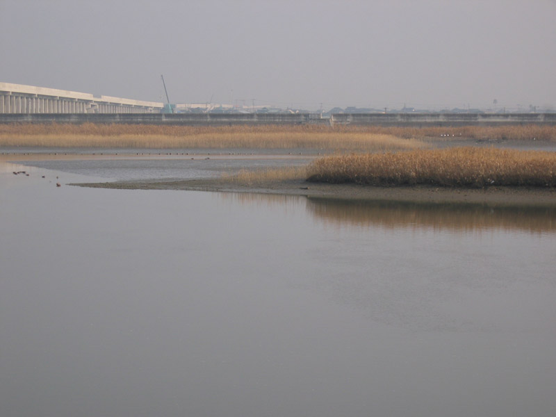
The area located in the southwest of the central part of Kumamoto Prefecture, which is surrounded with the Sunagawa river in the north and the Hikawa river in the south, is Shiranui reclaimed land. It mainly consists of vegetable fields, as well as paddy fields, meadows and creeks. The paddy fields are used to grow rice plants and others. The reclaimed land has no standing trees and the estuary area doesn't have any kind of forest either. At low tide, a large tidal flat appears in the two rivers. The tidal flat is a good place for shorebirds and waterfowl to feed and rest in.
Area & Coordinates
13,000ha 32°37′N 130°37′E
region: Kyushu Region, Kumamoto
Category
A1, A4i
Protection Status
Unprotected
Conservation issues
- Agricultural intensification/expansion
- Infrastructure
Birds
Breeding resident
Pandion haliaetus, Ardea cinerea, Alauda arvensis, Motacilla alba
Winter visitor
Falco tinnunculus, Falco columbarius, Circus spilonotus, Falco peregrinus, Anthus spinoletta, Passer rutilans, Pluvialis squatarola, Vanellus vanellus, Tadorna tadorna, Podiceps cristatus, Platalea minor, Larus saundersi
Passage visitor
Tringa erythropus, Philomachus pugnax, Calidris alpina, Tringa glareola
Image
©MAEDA Junichi
![]()
