JP108Shiokawa tidal flat
Site Description
Wetlands
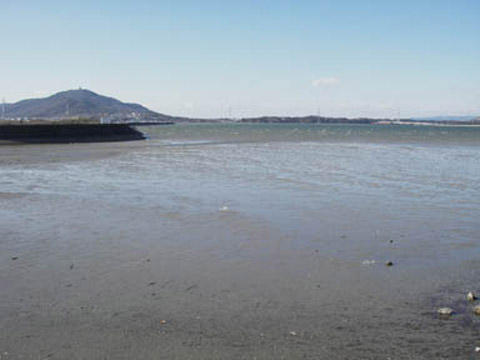
The site consists of a sandy and muddy tidal flat, reed beds and small sized saline wetlands. The tidal flat is surrounded by embankments and towards the inland is the flood control basin, paddy fields, farmlands and derelict eel ponds. The tidal flat of Toyohashi City side is composed of sandy and muddy substances, while the tidal flat in the Tahara City side is more muddy, where oyster reefs are formed. In the saline wetlands grow rare seaside plants. Along the largest river Shiokawa, the basin is occupied by reed beds.
Area & Coordinates
900ha 34°41′N 137°18′E
region: Tokai Chubu Region
Category
A4i
Designation Type
Prefectural National Park
Protection Status
Partially protected
Conservation issues
- Recreation/tourism
- Natural events
- Other
Image
©FUJIOKA Eriko
![]()
