Japan / Kyushu Region /
JP146Kumakawa estuary
Site Description
Wetlands
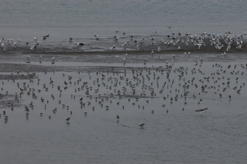
The Kumagawa river runs through Kumamoto Prefecture and finally flows into the Yatsushiro Sea. There is a well-developed tidal flat with an area of over 1,000 ha at its estuary. It used to be a sandy tidal flat, but now is a sandy and muddy one. Phragmites australis flourish around the estuary, where we can also see halophyte communities.
On Mizushima, which is located at the estuary, Euonymus japonica and Pittosporum tobira communities are formed, while Ohsozoujima is covered with evergreen trees such as Machilus tunbergii, and others. Upstream from the estuary is reclaimed land, which is used as paddy fields and Nelumbo nucifera fields.
Area & Coordinates
12,000ha 32°28′N 130°33′E
region: Kyushu Region, Kumamoto
Category
A1, A4i
Protection Status
Unprotected
Conservation issues
- Construction/impact of dyke/dam/barrage
- Fill-in of wetland
Birds
Breeding resident
Egretta alba
Winter visitor
Platalea minor, Tadorna tadorna, Charadrius alexandrinus, Calidris alpina, Larus saundersi, Larus ichthyaetus
Passage visitor
Bubulcus ibis, Charadrius mongolus, Charadrius alexandrinus, Pluvialis squatarola, Calidris ruficollis, Calidris alpina, Anas formosa, Grus vipio, Philomachus pugnax, Heteroscelus brevipes, Numenius madagascariensis, Numenius phaeopus, Xenus cinereus
Image
©TAKANO Shigeki
![]()
